Doubletop
|
||
Doubletop |
|
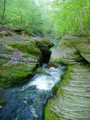
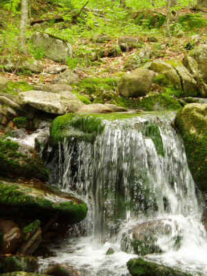
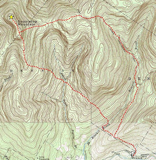
I ascended the Biscuit Brook trail to where it levels off, then turned sharply left and followed close to the YMCA property line. Biscuit Brook has carved a narrow slot into the bedrock. It was apparent that this is a popular destination for the YMCA campers in the summer season. | |
| Biscuit Brook swimming hole |
| Proceeding directly up the mountain, the incline never became too steep. Soon I
was at the ridge, which I followed up. I had set a GPS waypoint for the summit based
on the map, and I proceeded directly to this point. It was in a terribly thick
section of trees. I wandered around and around looking for the canister, but I could
not seem to find any trace of it. Eventually I realized that "Doubletop" meant that there was another peak, and that the canister might be on the other one. |
|
|
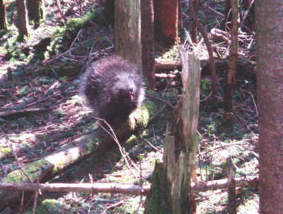
| Porcupine on Doubletop |
|
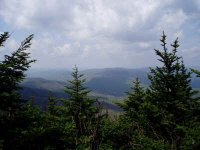
As I headed to the other peak, I stopped to enjoy a nice viewpoint. | |
| View east from Doubletop Ridge |
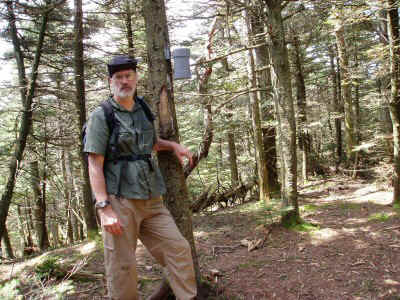
| Once I got to the correct peak, the canister was not hard to find. |
|
|
| Doubletop Canister |
|
I returned to the Big Indian trail by following the property line, which runs along the ridge. The return via Biscuit Brook trail was quick and pleasant. | |
| Biscuit Brook |